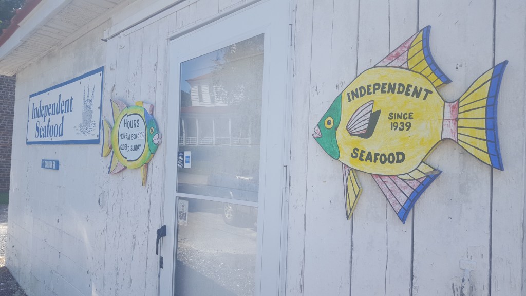
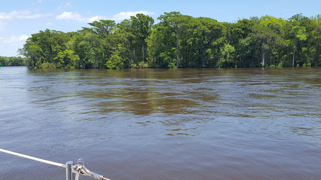
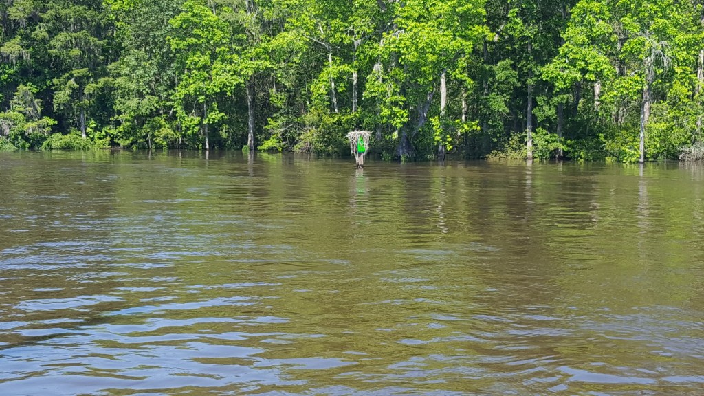
Monday’s challenges included a mid-morning ebb tide and flooding in the Waccamaw River. Before we tackled both, we walked over to our favorite fish market while waiting for slack tide. Only five people at a time could be in the market area – fortunately, only one other customer was inside when we arrived. After purchasing grouper and salmon, we went back to the boat to prepare for our departure. With the help of our dock neighbor and the harbormaster, Doug managed a 180-degree turn and got us on our way at 11:30 a.m. It didn’t take long to feel the effects of all the rain that has accumulated over the past two weeks and is now finding its way to the ocean. We usually travel at 7 mph; today we were struggling to reach 4 mph. The current was against us for most of the way, but once we turned towards Bucksport, things were in our favor and we made it to Osprey by 5:15 and were tied up at our dock around 6 pm. This trip usually takes 3 hours.
Getting back to Georgetown for a minute, our dock neighbor was there when Bertha blew through a few days ago. He has been a “live-aboard” for 30 years and said that Bertha was “really something” as far as storms go. Georgetown was on the unfavorable side of the storm, while Charleston (where we were) was on the side where winds and rain were diminished. A local businessman stopped by to see our dock neighbor this morning, and he said his shop was as prepared as he could get it for today’s floodwaters, which were expected to be especially problematic along King St. in downtown Georgetown. As mentioned in our prior blogs, this charming little town has endured floods, fires, and hurricanes, yet somehow bounces back.
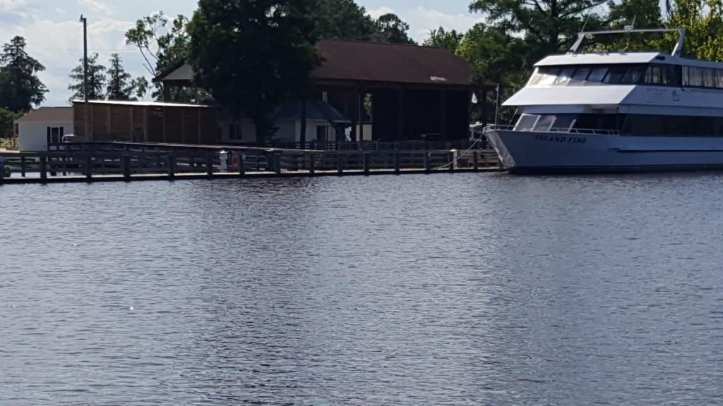
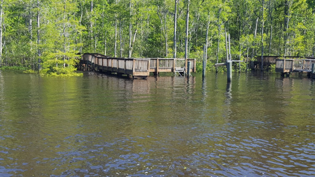
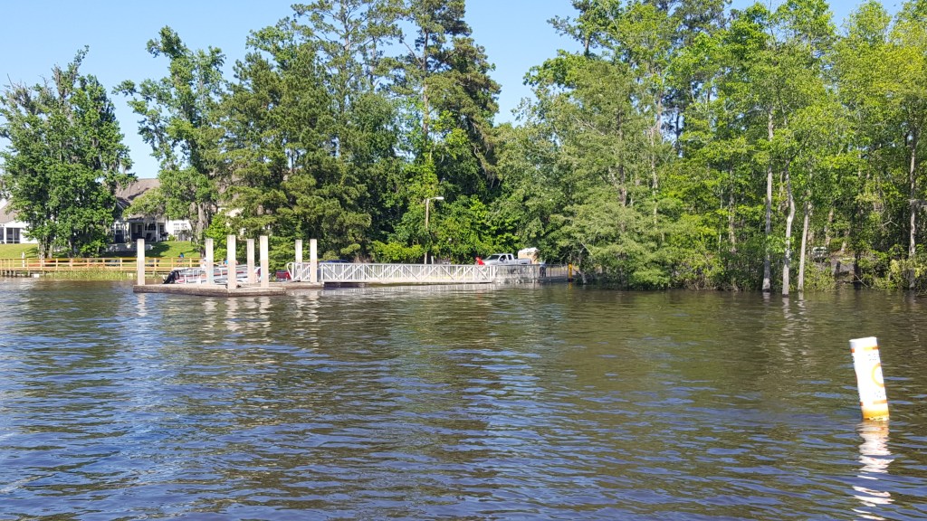
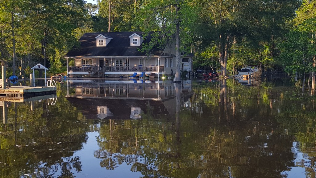
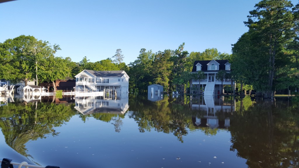
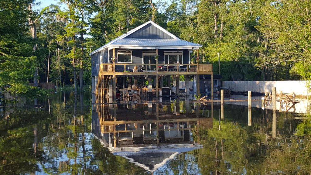
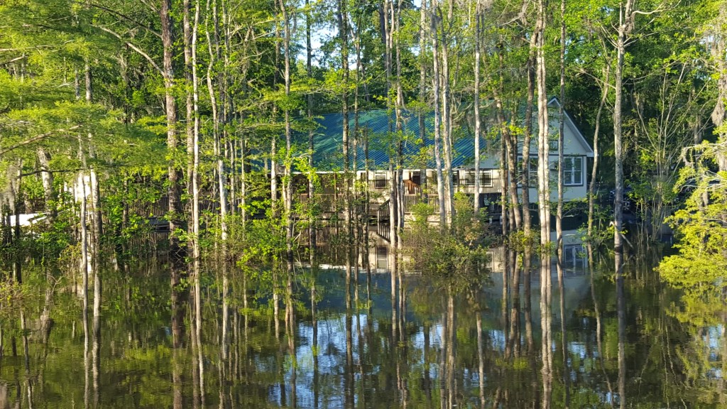
We plan to leave Osprey on Tuesday at 6:30 a.m., because we have a 58-mile day planned in order to be back in Southport tomorrow night. A huge concern will be clearing the 65-foot high-rise bridges – our mast is 55 feet, but we are in a flood situation now, and the forecast is for waters to continue rising through Friday, so it’s go now or wait five days or more. Below are photos of the currents and flooding on Monday and Tuesday.
I am very happy to report we have cleared all bridges between the Highway 501 Bridge and the Wacca Wache Boat Ramp, where the Coast Guard reported the flooding to be highest (a distance of approximately 20 miles).

Slow and steady wins the race! Keep safe!
LikeLike
Thanks! We enjoyed your wine last night with our grouper – perfect!
LikeLike
You make our RV planning look so easy! Glad you cleared the bridges, amazing photos. Be safe!
LikeLike
Us, too – the numbers (bridge height vs. mast height vs. flood level) said we’d be able to clear, but it’s very, very unnerving as you’re approaching that mass of steel! Thanks for your message!
LikeLike