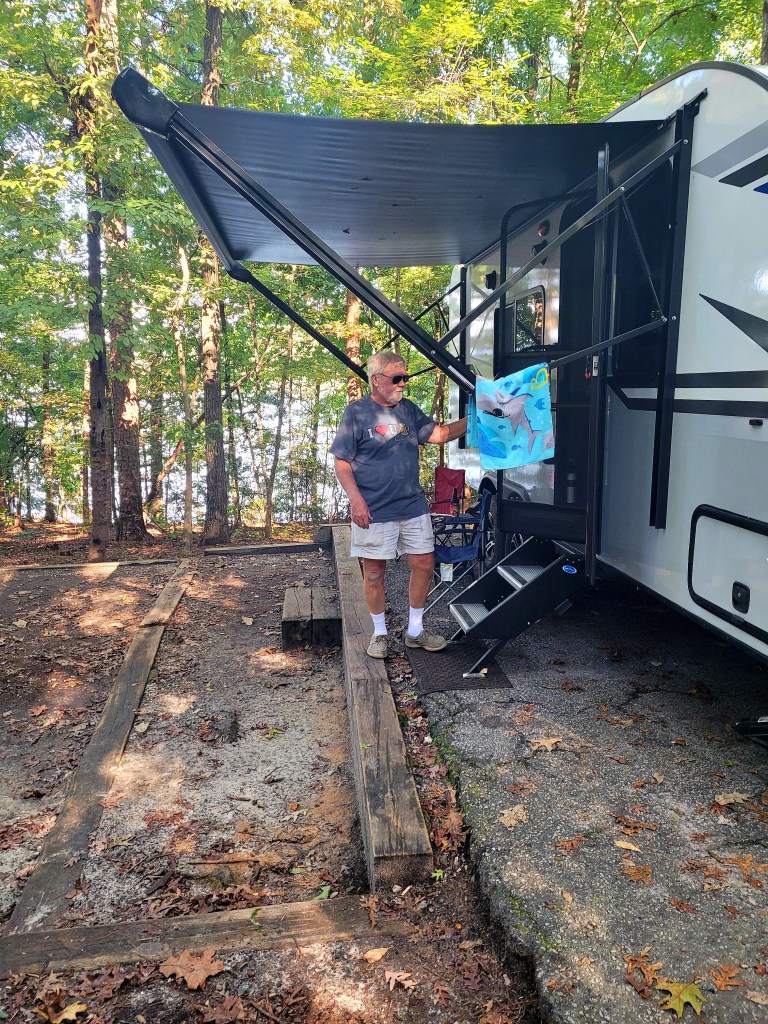
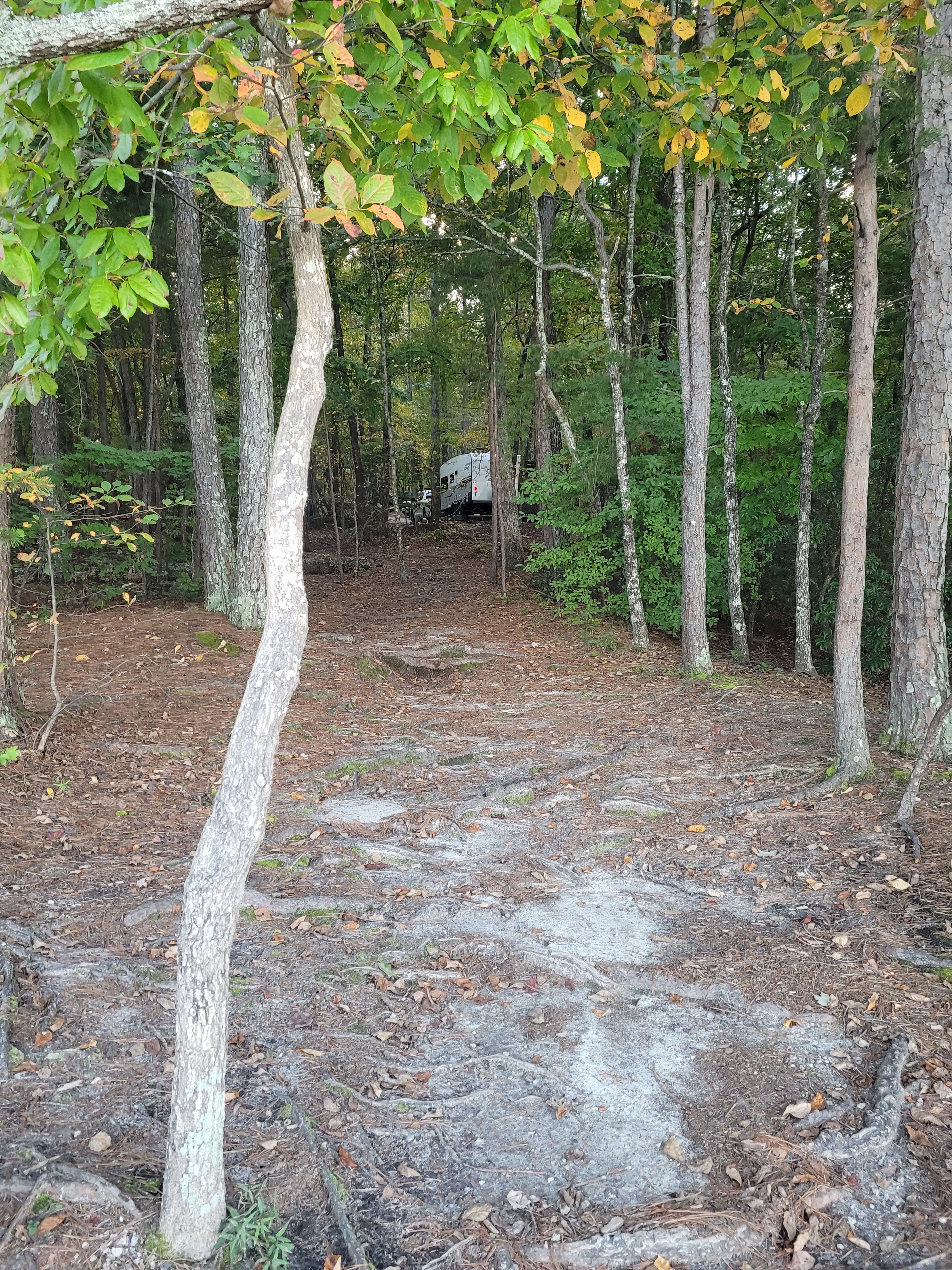
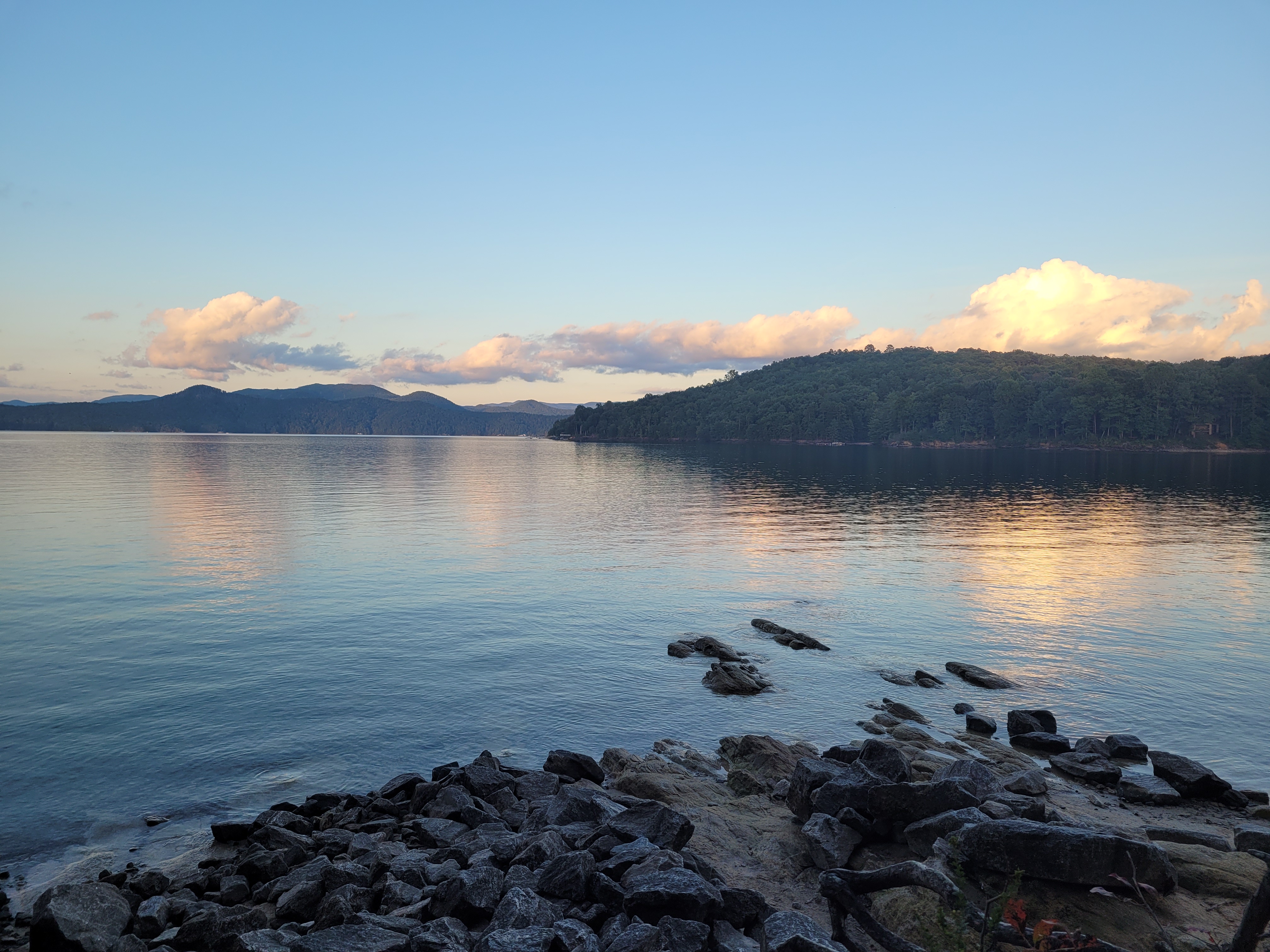
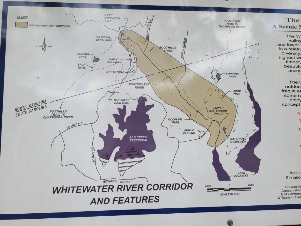
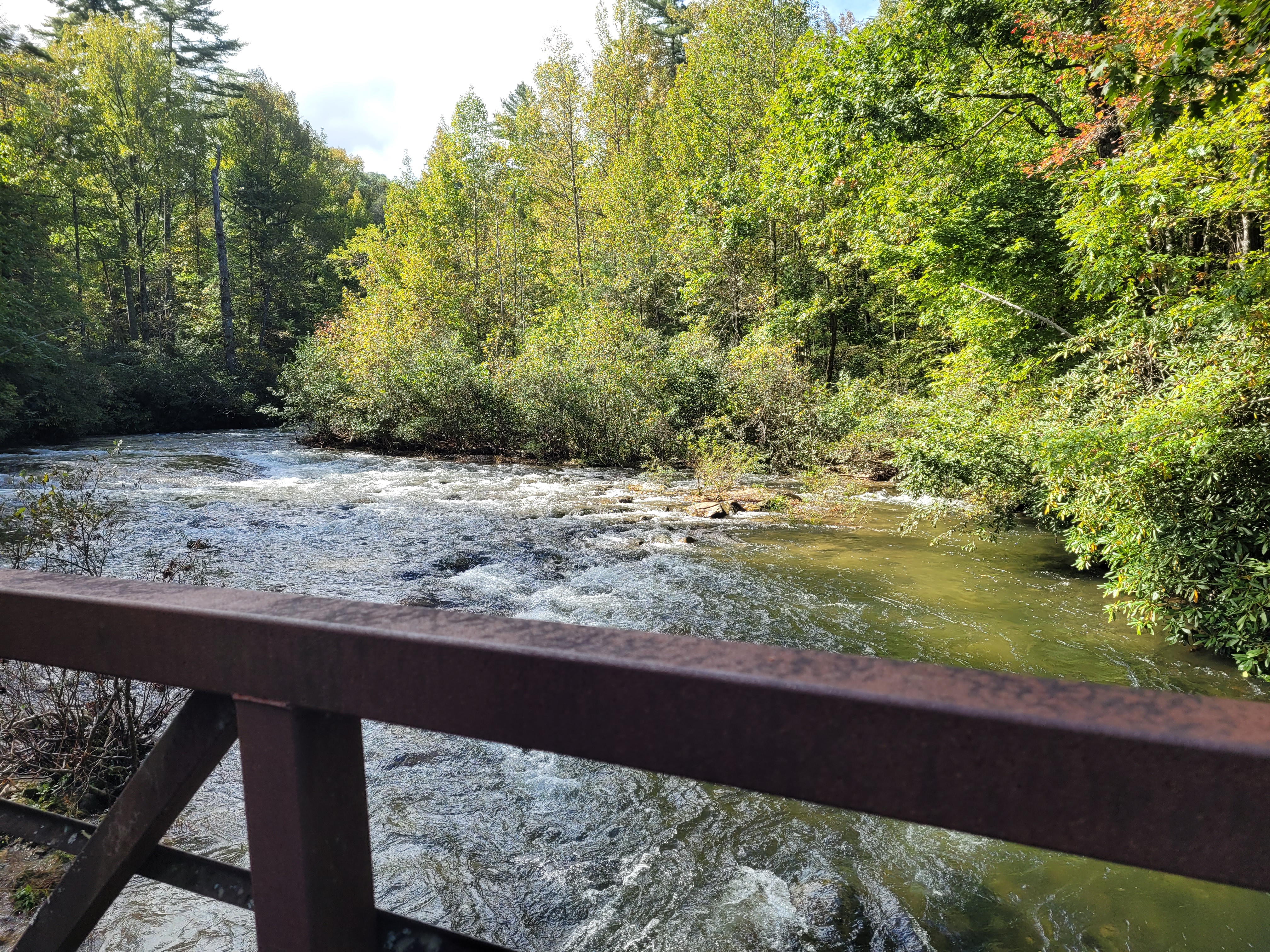
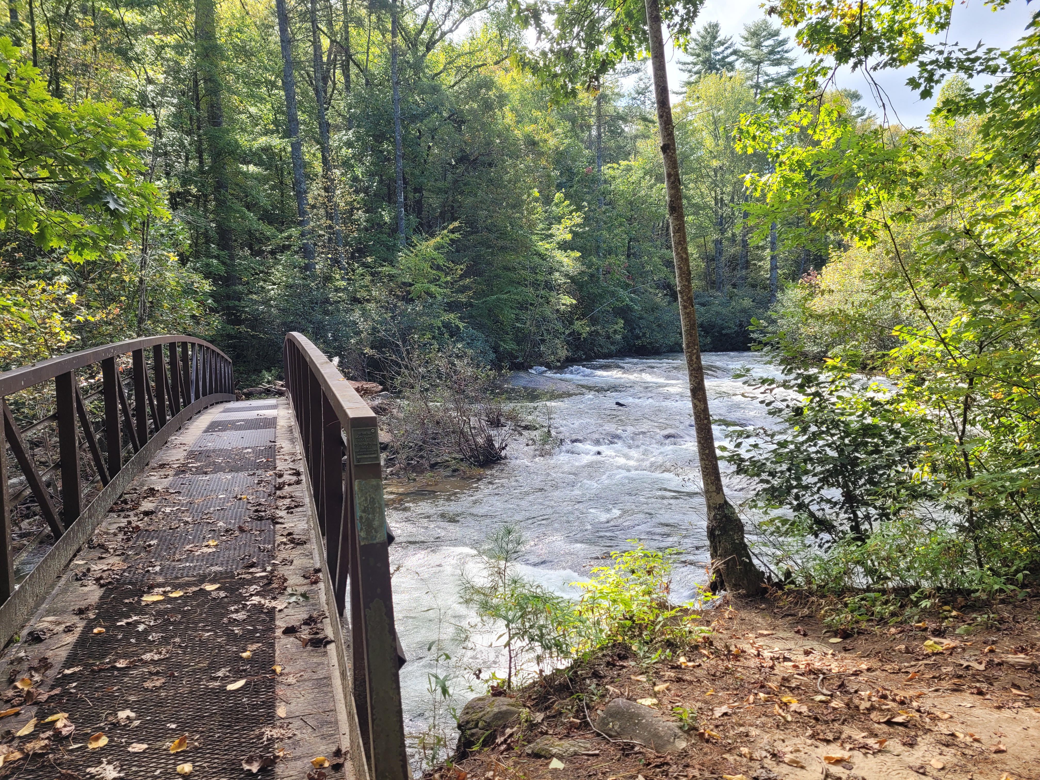
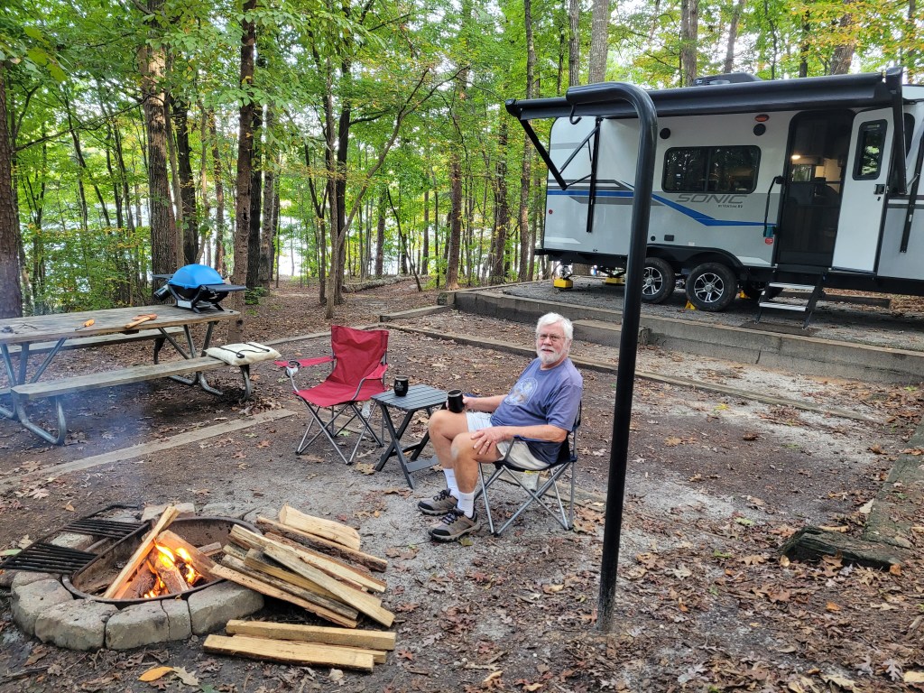
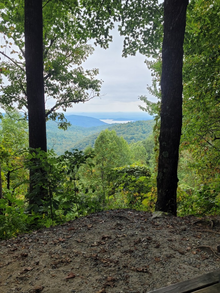
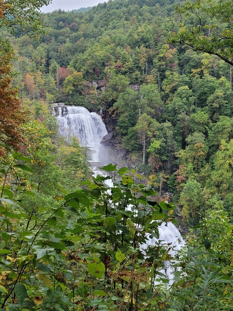
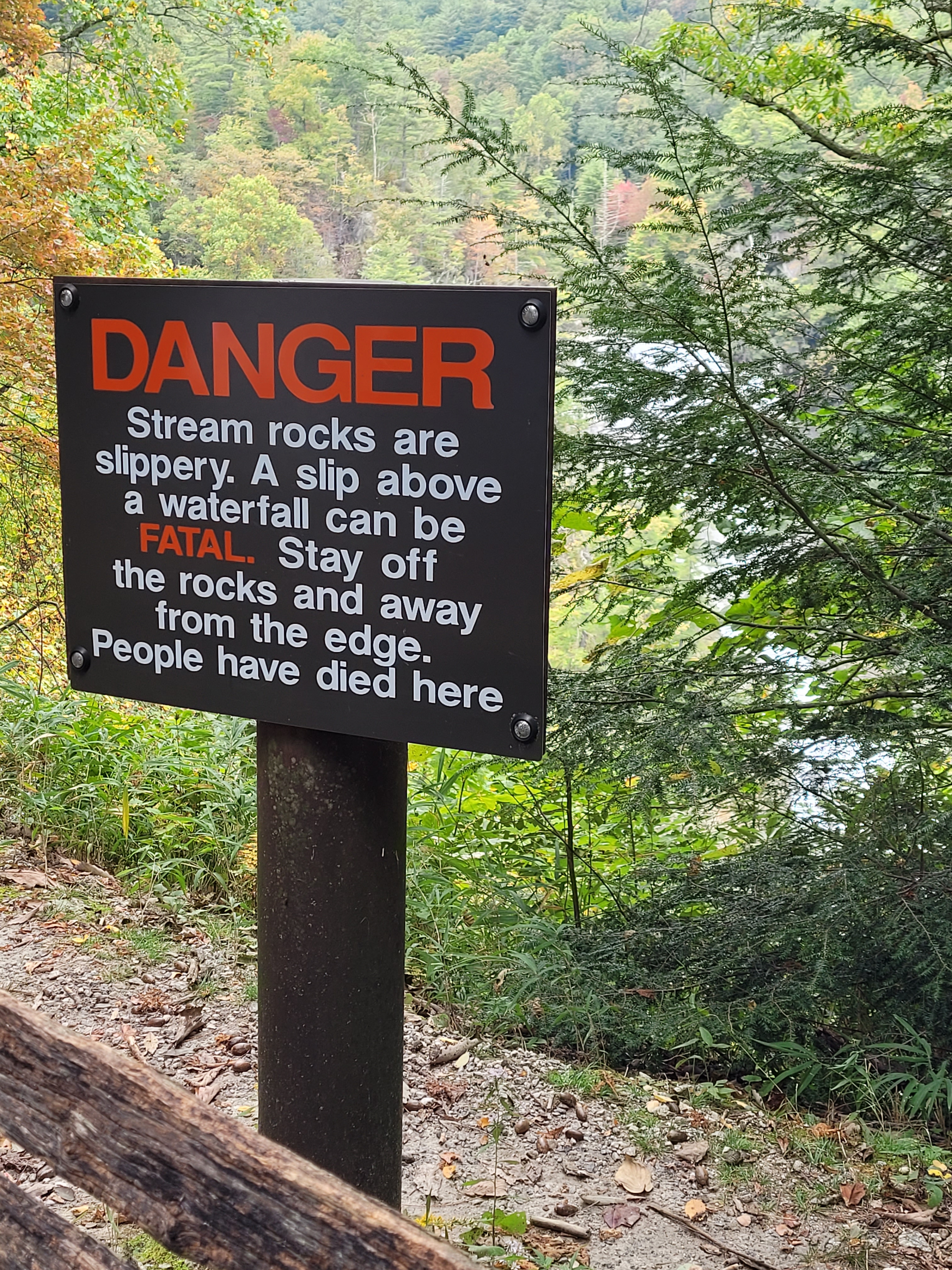
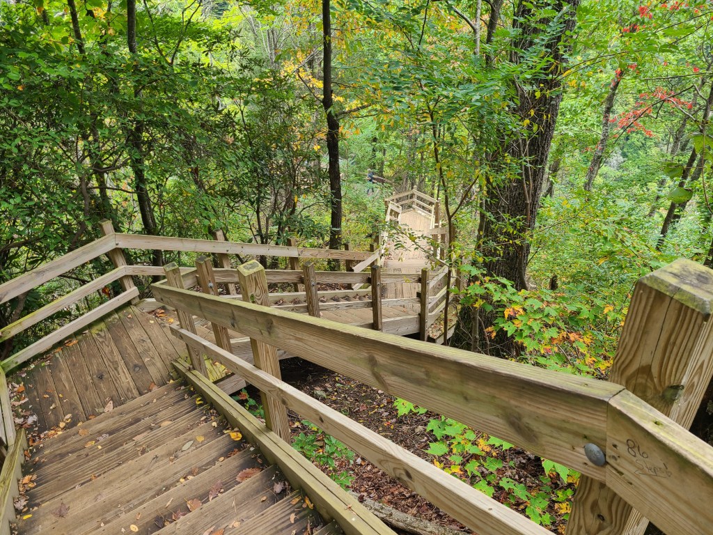
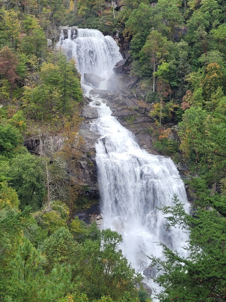
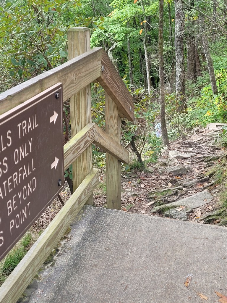
We inched our way into this beautiful campsite after a tense drive with heavy traffic, construction, accidents, and bumpy roads. We were greeted by the campground hosts as they blew leaves off our site, loaded us up with firewood, and introduced us to their tiny dog, Junior.The path from our campsite takes us to the edge of Lake Jocassee in about 100 steps.Those are the Blue Ridge Mountains in the far background. We are just over the NC border.On Monday, we wanted to hike to Lower Whitewater Falls, a distance of 2.4 miles each way.We finally reached the rapids of Whitewater River and continued on, but the trail was mostly a tangle of tree roots and rocks, so we turned around. We didn’t want to be caught on the trail at dinner time.Relaxing after 2 miles of difficult trails. We later discovered other creatures of the South Carolina woods, European Wasps. They come out after dark and are attracted to light (note the lights inside our camper) though they feast on smaller bugs and are considered as beneficial insects. No thanks!Determined to see Whitewater Falls, on Tuesday we drove to Upper Whitewater Falls, just a five-minute drive from the parking lot and trailhead to Lower Whitewater Falls. This short drive takes you from South Carolina to North Carolina. Lake Jocassee, where we are camped, is in the background. There is a paved half-mile path that takes you to the overlook at the falls.There is no reason to climb rocks and cliffs when a secure staircase takes you closer to the falls.154 steps take you to the lower overlook.What a spectacular sight! These falls are the highest east of the Rocky Mountains, dropping over 411 feet.This is the beginning of the trail from the Upper Falls to the Lower Falls. Half of yesterday’s hike was on a trail identical to this.

AllI can say is Wow! Gorgeous area! And Doug looks so relaxed!😊
LikeLike
Beautiful scenery & pictures! Enjoy!
LikeLike
Gorgeous! We’re a little jealous 😎
LikeLike